Skip to main content
Atlas of South Carolina
Austin CraneEditorMichael MewborneEditorJory FlemingEditor
A rich visual illustration of South Carolina's physical, political, social, and cultural geography
What is the regional distribution of South Carolinians' preferred barbeque sauces? Where were colonial roads located, and how did they relate to the sites of Revolutionary War battles? Where were the key locales of protest during the civil rights movement? When is South Carolina's tornado season and where have tornadoes struck most frequently? Offering more than fifty full-color maps, the third edition of the Atlas of South Carolina provides answers to all these questions and more, illustrating the diverse physical, cultural, political, and historical landscapes of the Palmetto State. The Atlas of South Carolina helps readers of all ages better understand the state in which they live.
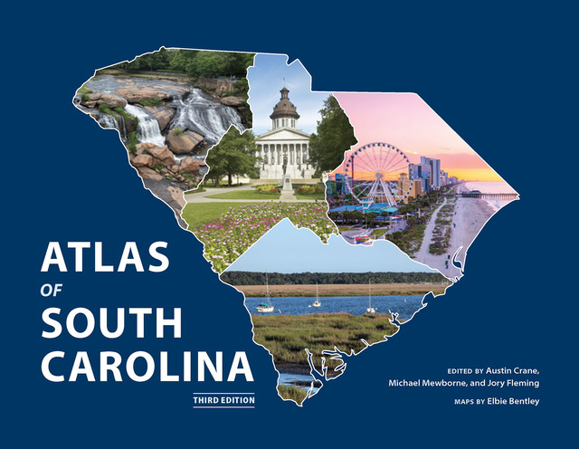
Table of Contents
Resources
Metadata
- container titleAtlas of South Carolina
- editionThird
- isbn978-1-64336-626-5
- publisherUniversity of South Carolina Press
- publisher placeColumbia, SC
- restrictionsThe text and maps of this book is licensed under a Creative Commons Attribution Non-Commercial No Derivatives 4.0. International (CC BY- NC- ND 4.0) license: https://creativecommons.org/licenses/by-nc-nd/4.0/
- rights
© 2025 South Carolina Geographic Alliance
The Open Carolina collection is made possible by the generous funding of the University of South Carolina Libraries.
- rights holderSouth Carolina Geographic Alliance
- doi